353881 bytes (1024x768)
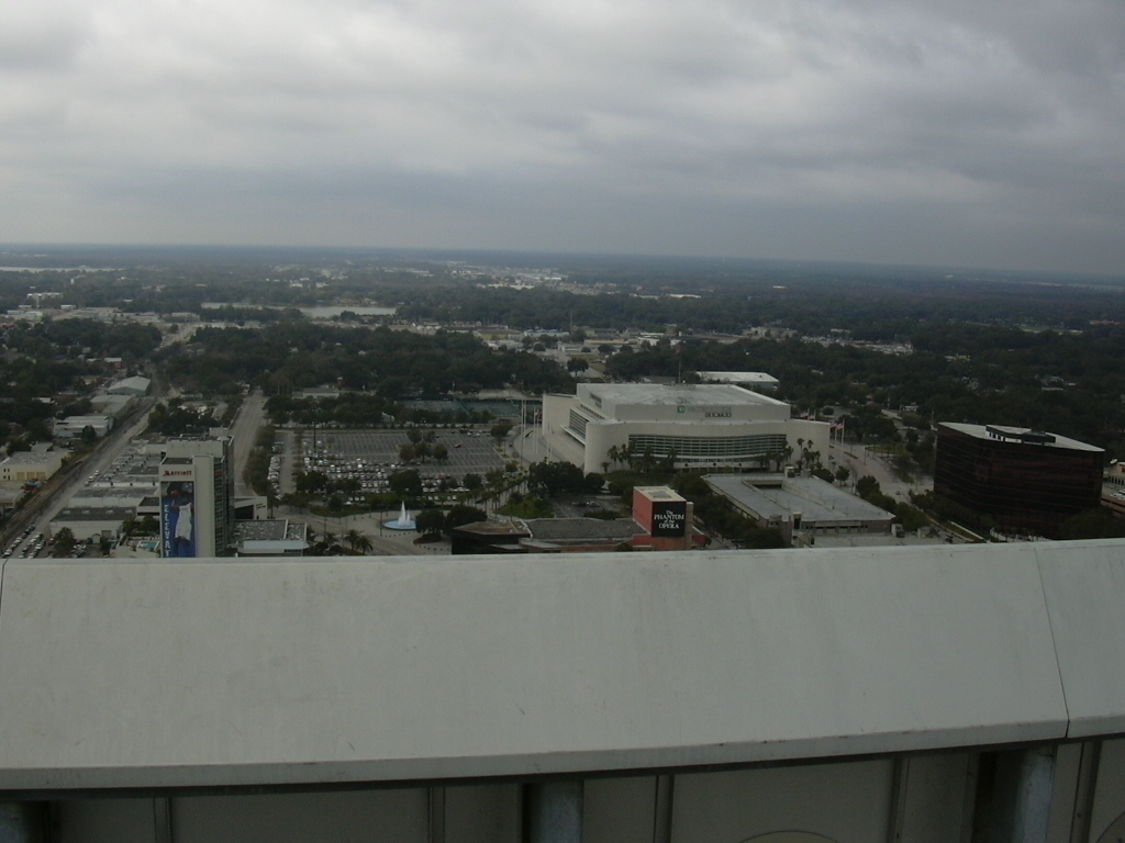
Looking west. The big building in the middle is the TD Waterhouse center (formerly known as the Orlando Arena.)

348179 bytes (1024x768)
Looking west-southwest from the top of the building
334216 bytes (1024x768)
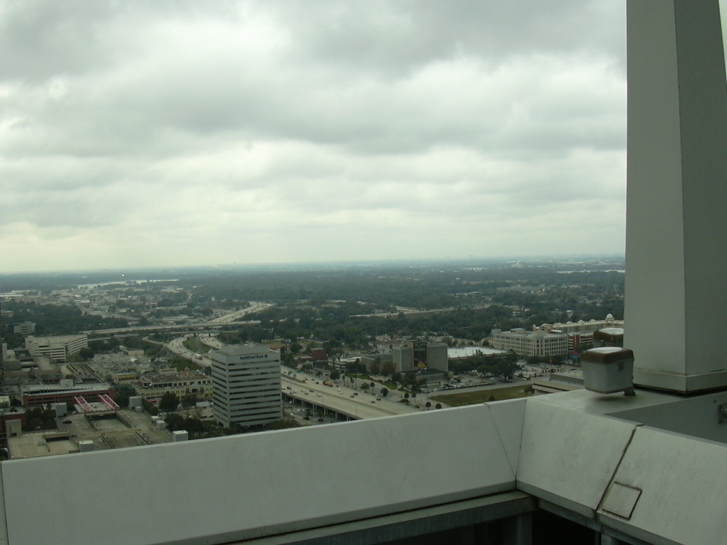
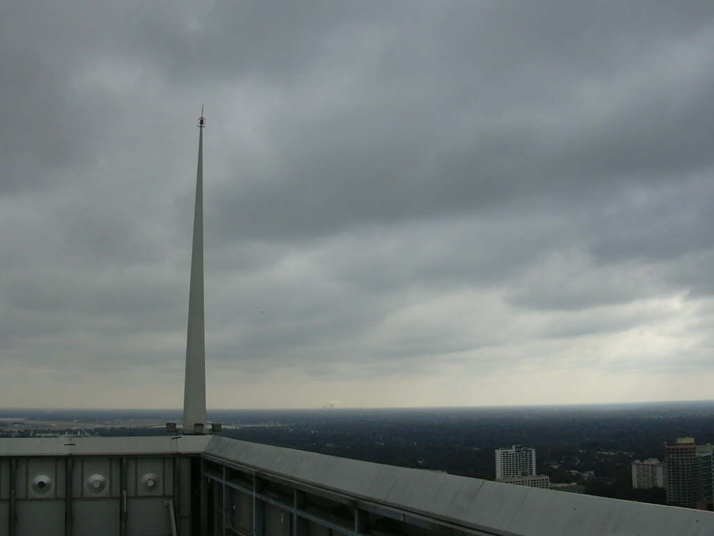
Looking south-southwest. I-4 stretches off southward into the distance, and the East-West Expressway (SR408) crosses over it.
340615 bytes (1024x768)
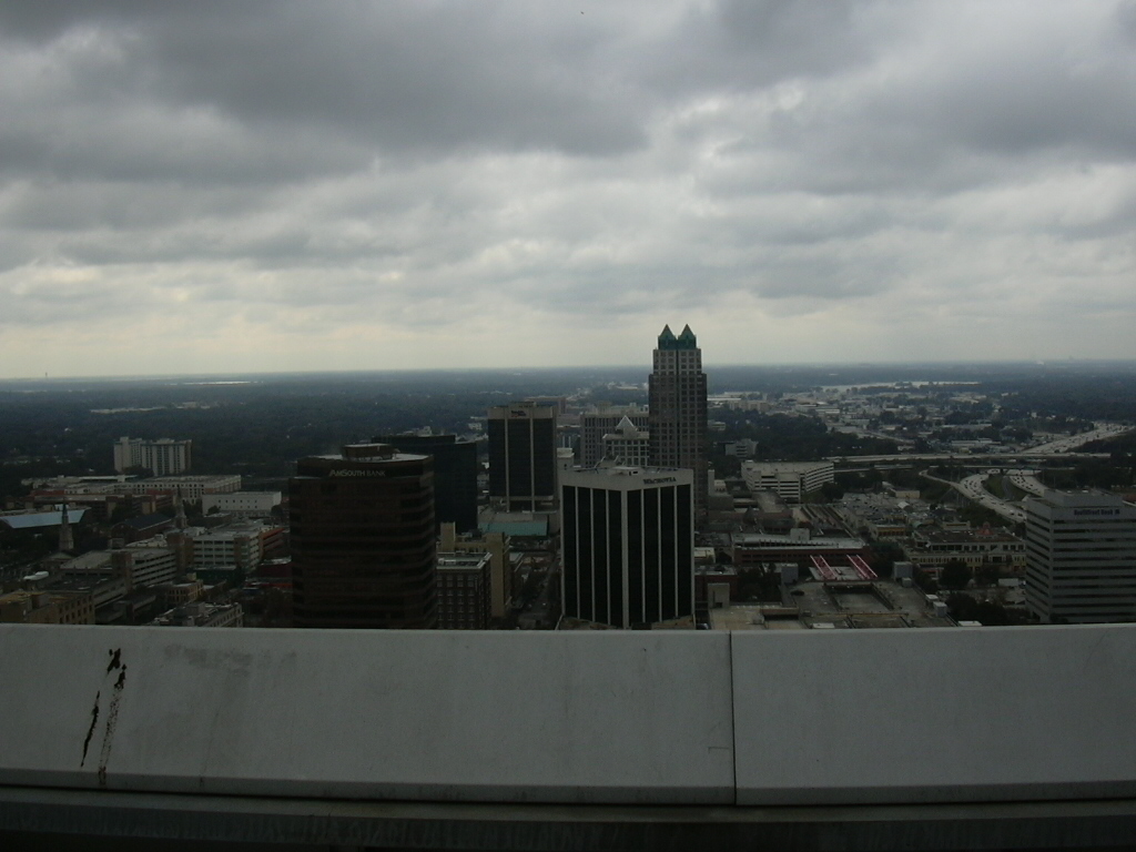
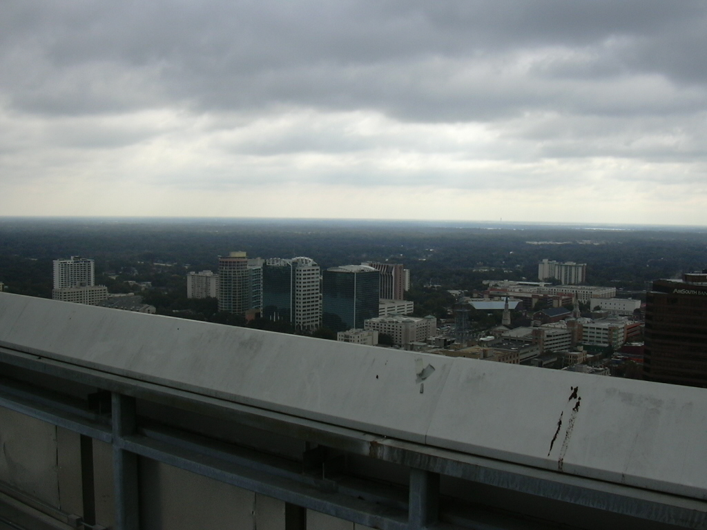
Looking south. The building with the blue pyramids at the top is the SunTrust tower, home of the Orange County ARES/RACES repeater (146.730, 103.5 PL tone.)
320190 bytes (1024x768)
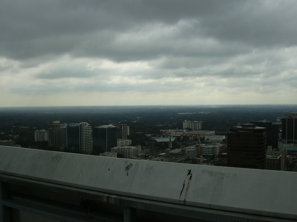
Looking southeast. The barely-visible spike on the horizon is the tower at Orlando International Airport (MCO).
216801 bytes (1024x768)
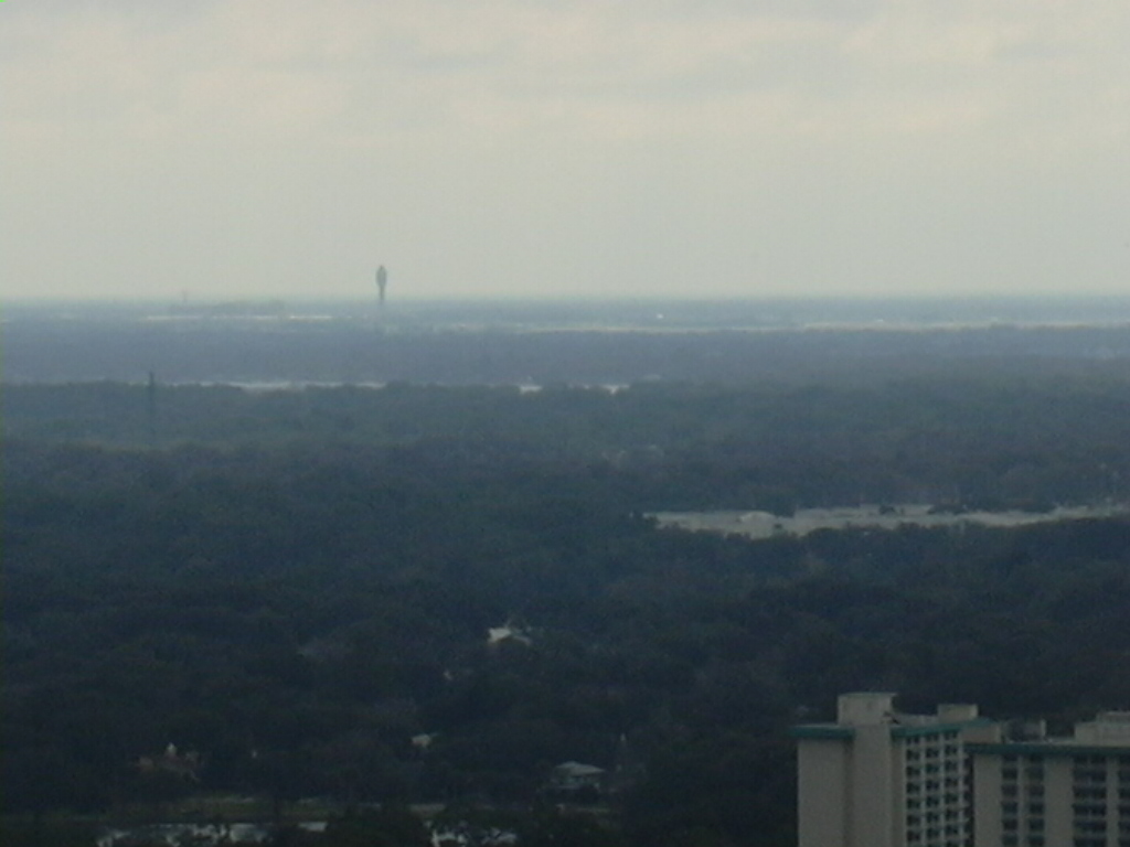
Looking southeast, zoomed in on the tower at Orlando International Airport (MCO).
326946 bytes (1024x768)
Looking southeast (without zoom.)
321168 bytes (1024x768)
Looking northeast. The top of the Orange County Courthouse is visible on the right. The antenna in the foreground is connected to the 442.250 repeater (the one we're working on.) We THINK the helicopter was from the Orange County Sheriff's Department (it had just taken off from behind the courthouse) but we couldn't see it well enough to be sure.
327575 bytes (1024x768)
Looking east. Orlando Executive Airport is in the middle, and the Courthouse is on the left.
291704 bytes (1024x768)
Looking east-southeast. The OUC Stanton power plant is visible on the horizon, to the left of the spike.
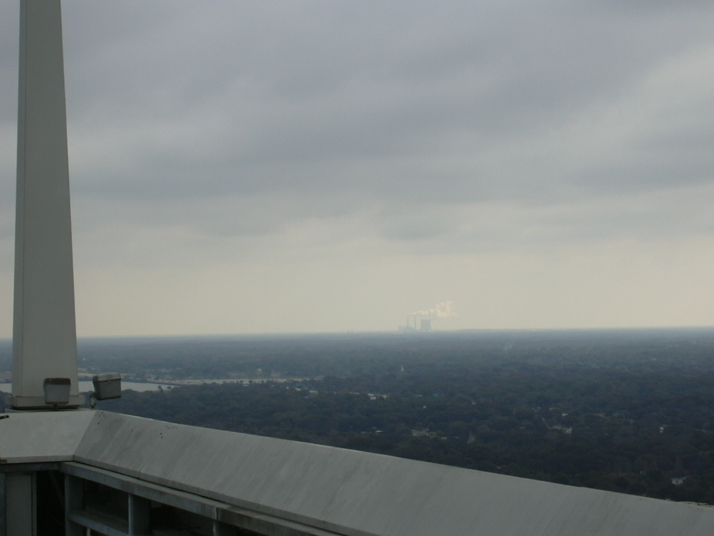
282571 bytes (1024x768)
Looking east-southeast, zoomed in on the OUC Stanton power plant.

327111 bytes (1024x768)
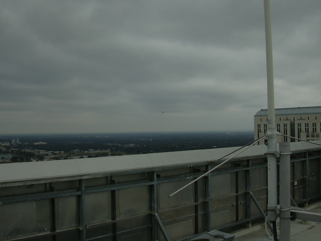
Looking northeast.
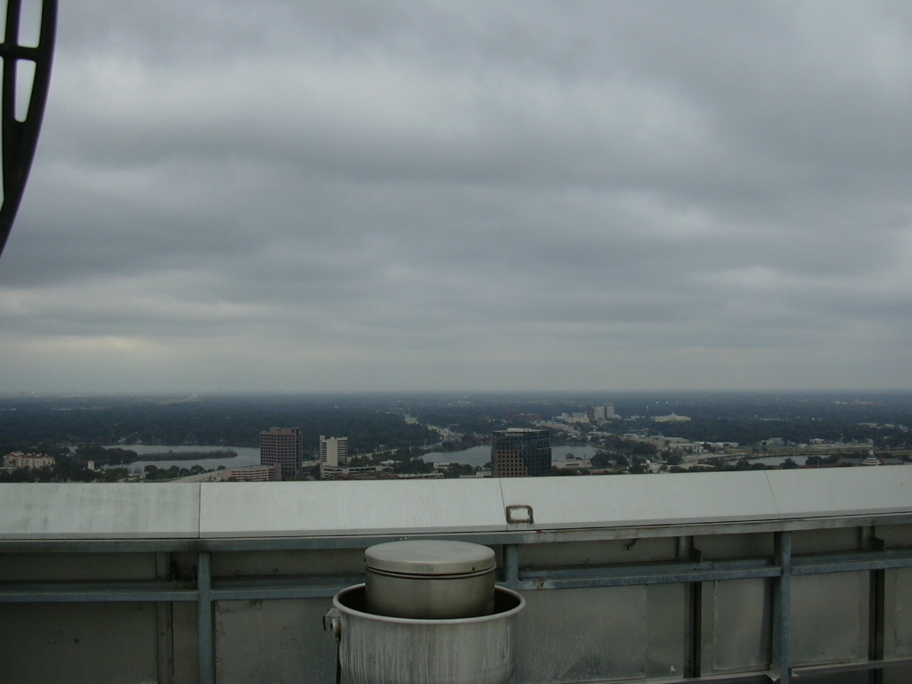
327705 bytes (1024x768)
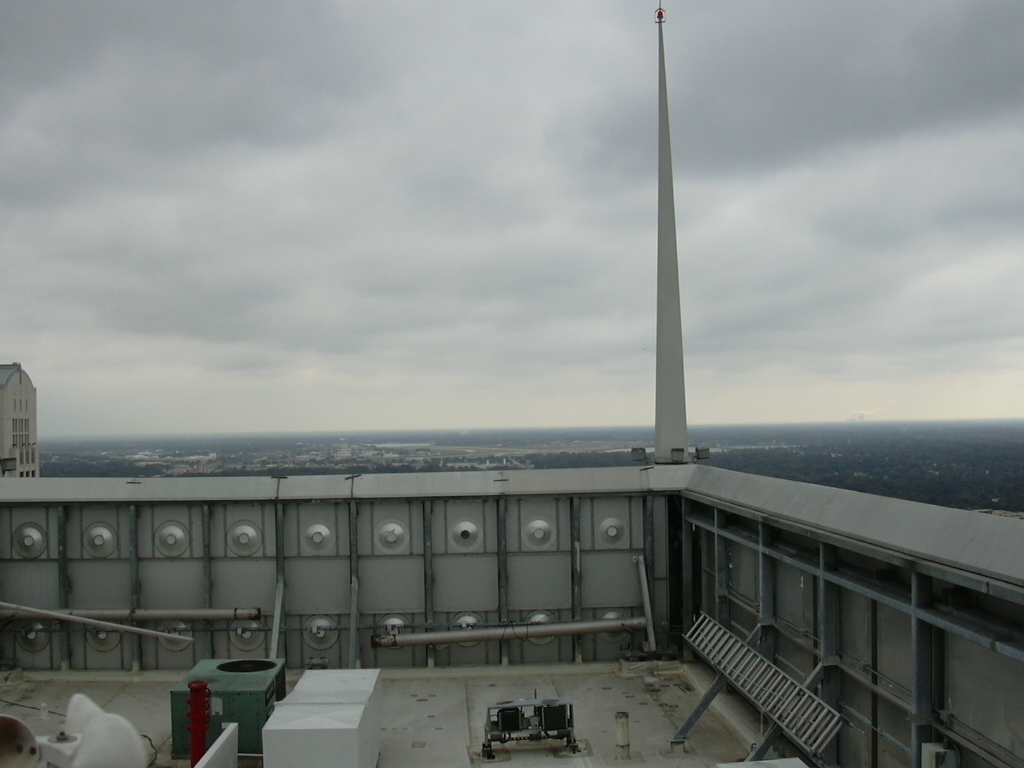
Looking north. The Altamonte Springs water towers are barely visible on the horizon.

401371 bytes (1024x768)
Looking northwest (through one of AirWire's point-to-point antennas.)
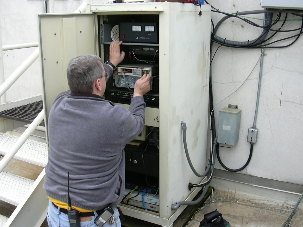
421133 bytes (1024x768)
Aaron (AE4KO) starts inspecting the UHF radio.
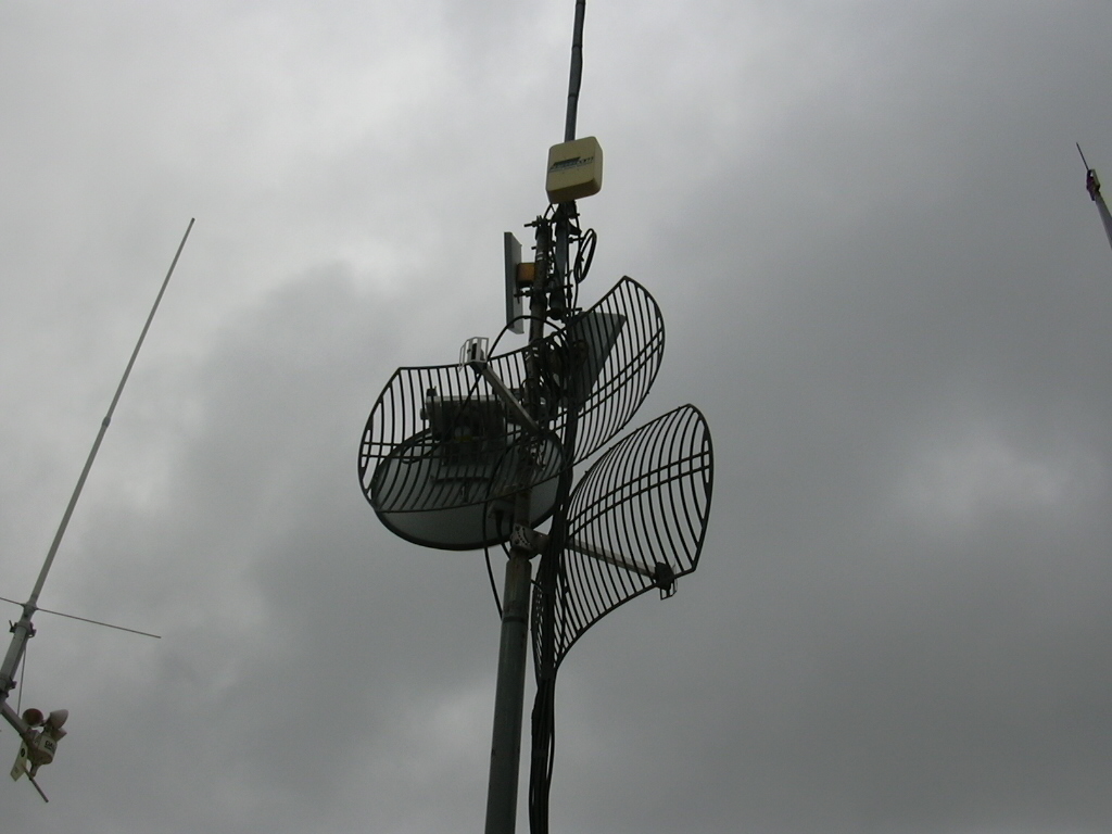
299490 bytes (1024x768)
Looking up at AirWire's antennas. The repeater's antenna and the weather station are visible on the left.
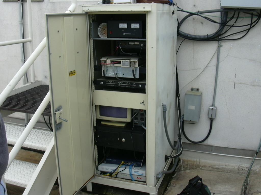
397641 bytes (1024x768)
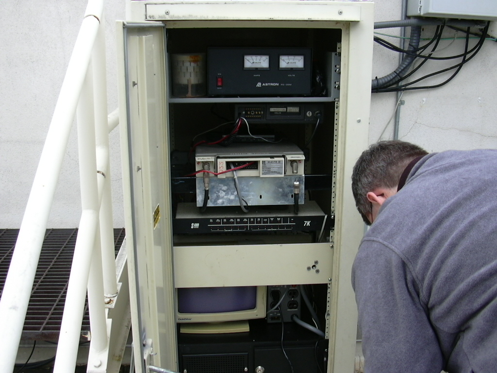
The station's equipment. From the top: power supply, VHF transceiver (for APRS), UHF transceiver (having issues), and the repeater controller. The black box below the monitor is the Linux machine, which is the Orlando APRS gateway as well as IRLP node 4510. (The equipment below the black box belongs to airwire.net.)
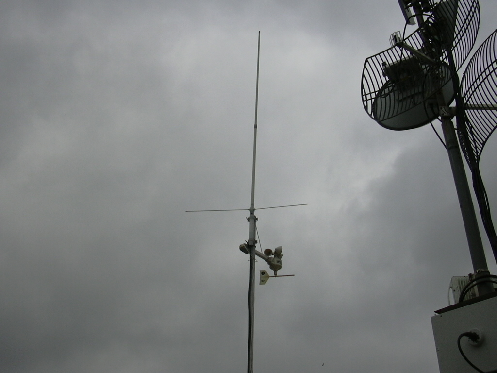
305857 bytes (1024x768)
The UHF antenna and the weather station.
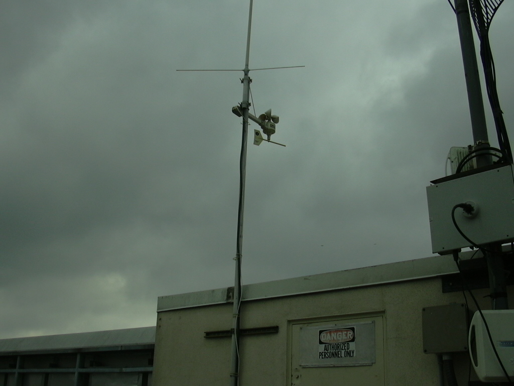
304449 bytes (1024x768)
The UHF antenna and the weather station.
416978 bytes (1024x768)
Another view of the station's equipment.